Wyalusing State Park
Wisconsin
May 2013
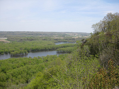
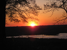
Wyalusing State Park is at the confluence of the Wisconsin and Mississippi rivers. It lies just south of the town of Prairie Du Chien.
This viewpoint looks up the Wisconsin River, just above where it meets the Mississippi.
Here, the French explorers Marquette and Joliett arrived at the Mississippi after portaging from the Fox River to the "Oisconsin" near the town of "Portage", then following it downstream.
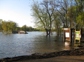
This spring the river was high, but not really at full flood stage. But the park's boat landing was still underwater.

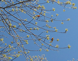
The oak trees were flowering several weeks later than "normal" (whatever that means in the Anthropocene Era)
A pair of orioles entertained me at breakfast...
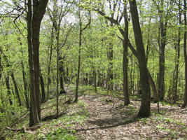
After which, I went for a stroll through the woods, following the remnants of an old trail.
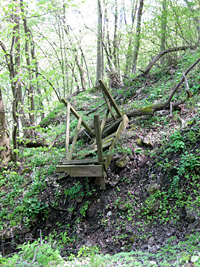
But many old trails have now been abandoned by the DNR, after a 2009 deluge cut deep gullies into the bluffs and washed out many foot bridges, like this one. The CCC, which built these trails in the 1930's, are probably turning over in their graves.
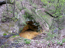
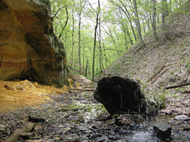
At least the trail that loops through Pictured Rock Cave is still on the official park map.
There are two ways to view the full set of slides:
Tip: Press your F11 key (for most web browsers) to toggle in/out of fullsceen mode.
Select a Thumbnail
Automatic Slideshow
(with 10 second delay)